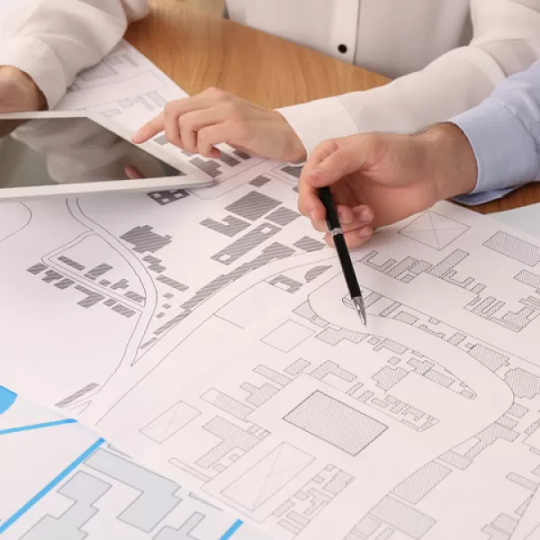
3D map production for mines, existing facilities and construction sites
3D mapping solutions developed for mine sites, existing structures and construction sites enable detailed modeling of the topographic structure of the land, existing infrastructure and environmental elements. In this way, planning, monitoring and decision-making processes become safer and more efficient, while operational risks are minimized by providing precise and up-to-date data on site conditions.
3D oblique and strip-like map production for transmission and distribution facilities
3D oblique and strip-like maps created for electric transmission and distribution lines provide high accuracy in route planning. These maps facilitate the consideration of critical factors such as terrain obstacles, construction and natural elements by providing detailed analysis opportunities from both bird's eye and inclined angles. Thus, time and resource savings are achieved in project planning, maintenance and expansion works.
Digital twin and geographic information systems
With digital twin technology, virtual copies of physical systems can be created, making it possible to monitor and analyze facilities in real time. Thanks to this structure, which works integrated with Geographic Information Systems (GIS), decision support systems enriched with spatial data are developed. In this way, infrastructure management, asset tracking and sustainability strategies can be carried out much more effectively and intelligently.

