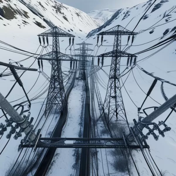
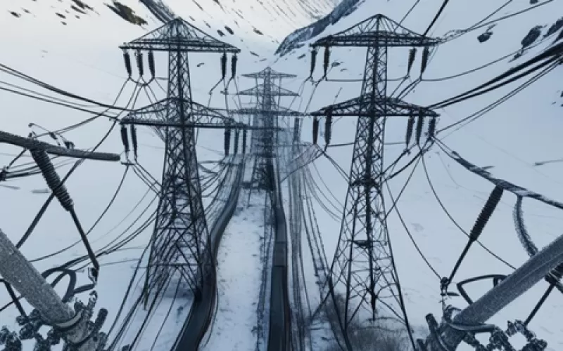
Under the leadership of the Ministry of Energy and Natural Resources of the Republic of Turkey and the Turkish Electricity Transmission Inc. (TEİAŞ), Turkey's ice load, wind load and risk maps have been renewed for use in the design and distribution of energy transmission and transmission lines.
In order to determine the sensitivity of the climatic maps that emerged within the scope of the project, measurement devices that detect ice load and weather parameters were installed in the climatically harsh regions of Turkey. Before the climatic maps were created, the WRF model, which is a medium-scale numerical weather prediction model, was established for forecast simulations. While the WRF model was running, static geographic data and grid meteorological data were used. These two data sets were modeled by WRF from the simulation stage. Internationally accepted value schemes were used for atmospheric data in the WRF model. After the required values and data were determined, the WRF model was run.
In the phases of the project, firstly low resolution (4 km x 4 km grid) ice load and wind load maps are produced. In the next step, high resolution (1 km x 1 km grid) ice load and wind load maps are produced. In the last phase of the project, current ice load, wind load and risk maps are produced. The obtained climatic and risk maps are also kept as digital data files to be used in geographic information systems. After the climatic maps in the prepared project are completed, the designs and distribution of energy transmission lines have started to be both safer and more economical.